Hameldon, Lancashire

Route Information
Stats: 10 miles and 1530 feet of ascent
OS Map: ![]()
Refreshments
Once on the ride, you’ll see more Bronte sisters than catering establishments.
Character
It’s wild and lonesome up on them thar moors. There are several Hameldons overlooking the top end of the M65, including, Great Hameldon, Black Hameldon and Hameldon Hill. Our route traverses plain old Hameldon, straddling the boundary between Lancashire and Yorkshire. And, if ambiguous hill names confuse you, a curiosity of these moors is that they drain to East and West into two different Calder rivers.
Start point: Hurstwood car park SD882313
Route
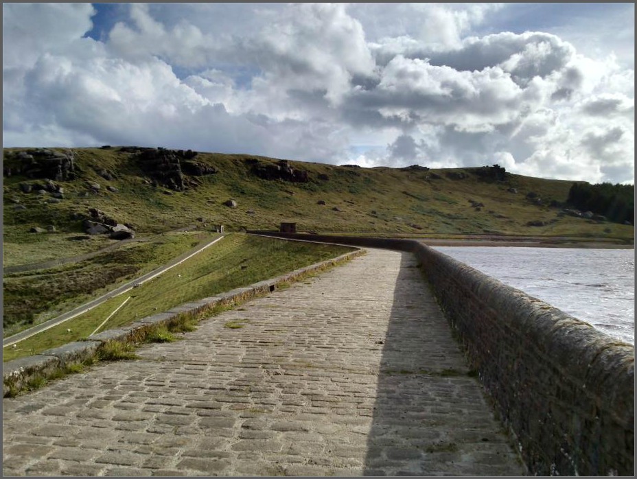
1. Take the track leading up the charming avenue heading East to gain the Eastern shore of Hurstwood Reservoir.
2. Keep going up the valley until you reach the Gorple Road, turning right at the Pennine Bridleway signpost.
3. Turn left shortly after, signed PBW north. Follow a gorgeous twisty singletrack zigzagging to Swinden Water and climbing back out to Extwistle Moor. Keep going, dropping down more zigzags to the road junction above Thursden.
4. Turn right and climb on tarmac to the county boundary. With Emley Moor transmitter in the distance, swoop down to Widdop Reservoir.
5. Turn right to cross the dam and turn right at the end to take the good track up Black Moor.
6. Drop back down into Lancashire on the Pennine Bridleway, rejoining the path alongside Hurstwood Reservior to return home.
Please avoid using the nearby footpaths across the moor; however enticing the singletrack may seem. Respect the nature and legality of the path and in doing so, support better access.
click below for gpx file


