Gravel Bike Coast to Coast: Yorkshire Dales
Riding through the Dales with Voom Nutrition
Having reached Kendal, the Lake District is behind you and it’s time to ride towards the Howgills and the Yorkshire Dales National Park. It’s home territory for us, and it has some of the very best tracks anywhere in the United Kingdom. Gravel bike trails are all around you in the Dales, with great gravel routes for riders of all levels. First of all though, we need to get into the Yorkshire Dales National Park, and the road begins with a climb out of Kendal, as we head to Sedbergh, tucked neatly beneath the Howgills Hills.

Route Information
Stats 118 km 1, 781 metres
Ordnance Survey Map: ![]()
Refreshments & Where to Stay
The first town on route in this stage is Sedbergh, which has several opportunities for accommodation and food. After this, we cross Dentdale and the small village/ town of Dent, before a long haul to Wensledale, where nearby Hawes, one of the largest Dales towns, has everything required. If you take this detour, Hawes has a great Youth Hostel to stay at. After this, it’s down to catching refreshments at smaller places such as Bainbridge village, before you finally reach historic Middleham.
Character
This section has steep climbs and epic descents along the way, as well as useful tarmac sections that avoid poor trails for the gravel bike and which will help you speed along to better trails. Leaving Jervaulx Abbey and the superb gravel route through the parkland, most of the route towards Hambleton and Herriot country, is on tarmac, due to the often poor quality of trails and bridleways in this short area.

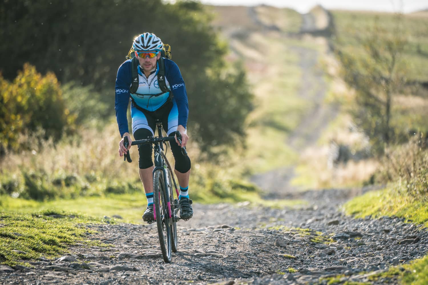
Beau Smith, Voom Nutrition at Ribblehead
Route
- Head out of Kendal on the B6251, before turning off left on the minor road towards Millholme. The road climbs and crosses the M6 motorway, before dropping towards Killington.
- Before reaching Killington, drop down onto a track, from Old School Road, which rides around the farmstead at Beckside (OS maps) before rejoining the minor lanes.
- At Hallbeck take the tracks that crosses over the river, the.n turning right onto the main tarmac road for a very short distance, before turning off left onto minor lanes and bridleways that lead to the town of Sedbergh.
- Taking the A684 road as you leave Sedbergh, cross over the bridge and then turn off right to minor lanes and ride to the hamlet of Hollins (OS Map). Take the Bridleway signed ‘Dales Highway’ that leads across the fells all the way to Ribblehead and the iconic railway viaduct.
- Turn left onto the B6255 road for a short distance, then turning off onto the bridleway signed ‘Dales Way’ which climbs and heads towards Cam Houses (OS map). The track tops out on the Cam High Road, crossing the tarmac road for a short distance, before the Cam Road bridleway is rejoined and you descend all the way to Bainbridge village.
- Leave Bainbridge on the A684 road towards Leyburn and cross the bridge, climbing for a short distance until a junction right is signed onto a minor road to Semer Water and Carpley Green. Once on this minor lane, turn off again onto a narrow lane that climbs to the farming hamlet at Carpley Green.

Beau Smith, Voom Nutrition at Carpley Green above Wensleydale
- At Carpley Green take the gravel bridleway that climbs on twisting double tracks, the the bridleway junctions at ‘Stake Allotments’. At Stake Allotments, drop down on the fast gravel tracks to Thoralby, where minor lanes are joined. Ride on tarmac now to West Burton village (good pub).
- As you begin to leave West Burton on the B6160 road, a small packhorse bridge on the right should be crossed, leading to a rising bridleway – bikehike – which eventually levels out and takes you on excellent gravel to the road. Turn right and climb towards Pen Hill and the area above the famed Middleham Gallops.
- Turn off left before the top of the climb and follow the minor lane that sweeps along the top of Capplebank Plantation, then joining a road junction. Opposite the junction a bridleway sign leads you over the famed gallops and all the way down to Middleham and its castle.
- Quiet country roads now lead you towards East Witton, then on towards Jervaulx Abbey, where a bridleway takes you through the parkland on excellent gravel. On leaving the parkland, turn left onto tarmac lanes once more.
- After approximately 1/2 km a bridleway on the right by farm buildings should be taken. This crosses meadows and farmland, passing by trees, before rejoining tarmac on the road towards Masham. Follow this for approximately 1 km, until Mirfield Wetlands on the left. A bridleway can be accessed here, which runs adjacent to the road. After crossing a track, a further bridleway then leads you to the Brewery Visitor Centre – yes, and White Bear public house at Masham.
- Leave Masham refreshed, taking the A6155 towards Ripon, but after crossing the bridge, take the minor road immediately left. Follow this for approximately 2km until a bridleway on the right at Halfpenny House Lane (track) leads you towards Thornton Watlass. Exit this on the road, then turn right and follow the gpx directions and lanes to Snape.
- The route now takes predominantly tarmac lanes all the way to Northallerton. Bridleways in this area can be unpredictable and poor, and so the quiet lanes at the end of this stage are a welcome relief, and are filled with wonderful country scenes and historic buildings, such as Snape Castle.
Click below for GPX file & accommodation
Download GPX