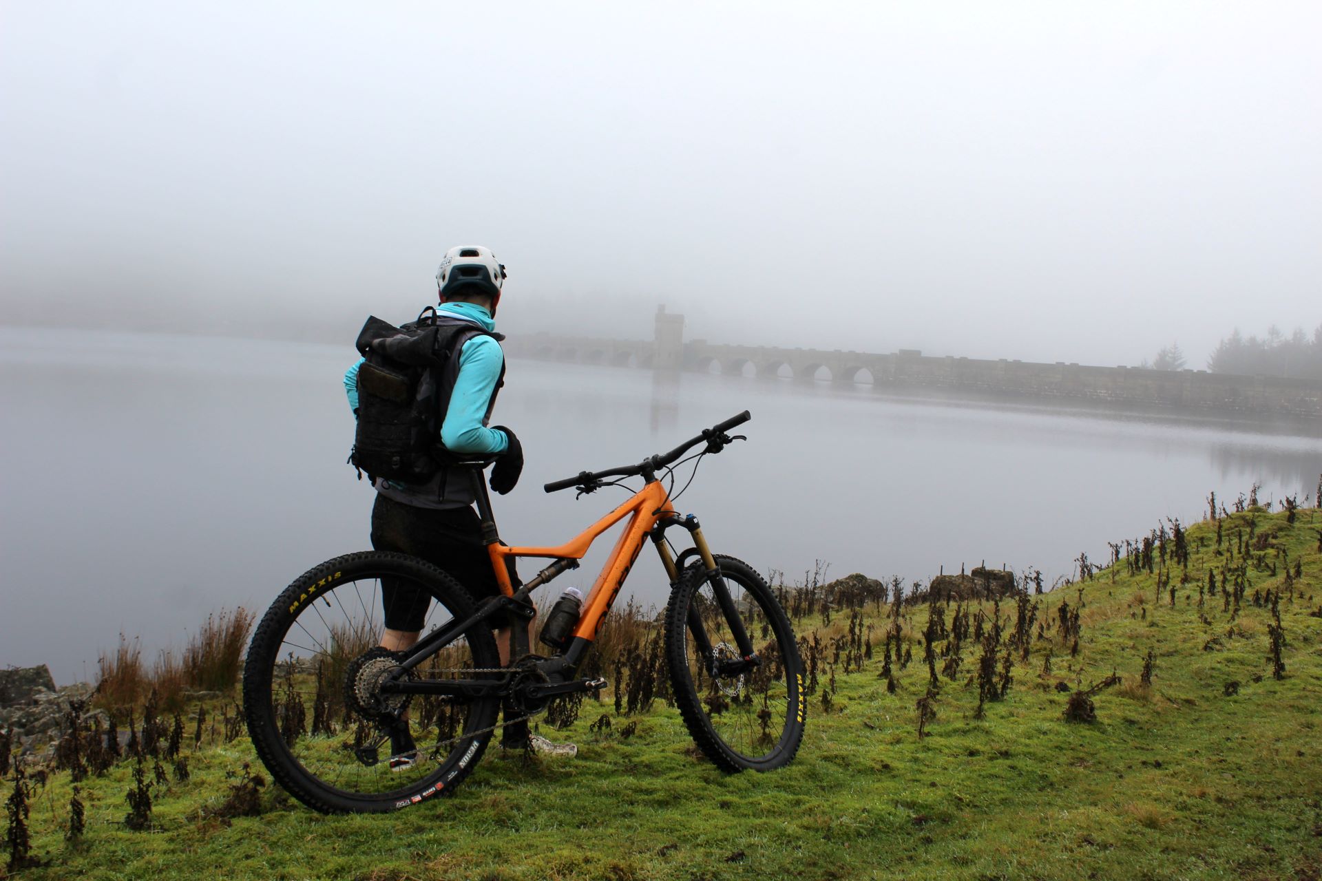
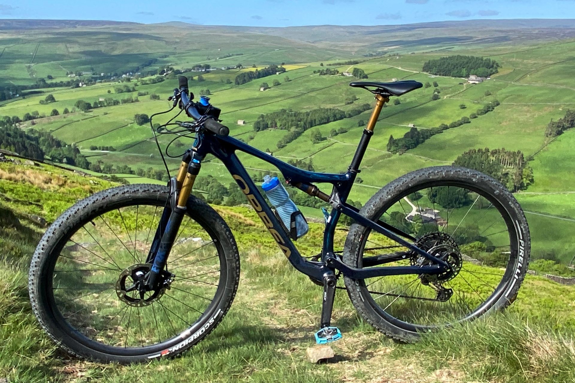
You will need to be able to use a map and compass or have access to a gpx device or app. Some areas will not have a great number of BW signs. Maps and the route description will help. If you feel that the distances are too long, design your own halts and take longer to ride the route – it’s your trip. Just enjoy the challenge.
We rode all sections of the route several times using just a map and compass to ensure that we could navigate it ourselves. It is tricky at times and we’ve discussed things with the National Parks to improve the route. The gpx files were produced post ride, having only used a map and our noses, so please feel free to email us with accurate height details.
Anyway, click the ordnance survey map above or the google map below and take a look. Full details of each stage are provided at the foot of this page. All you need to do now is to prepare yourself and have a good ride along England’s best mountain bike coast to coast route.

