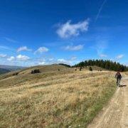
Trans Bai Trail, Baiului Mountains
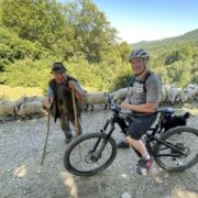
Transylvania and Romania have some of the most spectacular and beautiful mountains in the world. Best of all, they’re accessible to adventure seekers, and I love living here 🙂 This mtb trail follows the TransBai trail, a highway in the Baiului Mountains, a truly magical wilderness. The Transbai connects three important tourist attractions: the Azuga and Busteni resorts on Prahova Valley and Valea Doftanei commune. The roads unite in the Baiului Mountains’ alpine meadow, near Cazacu Peak, at an altitude of 1753 meters.
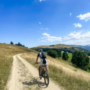
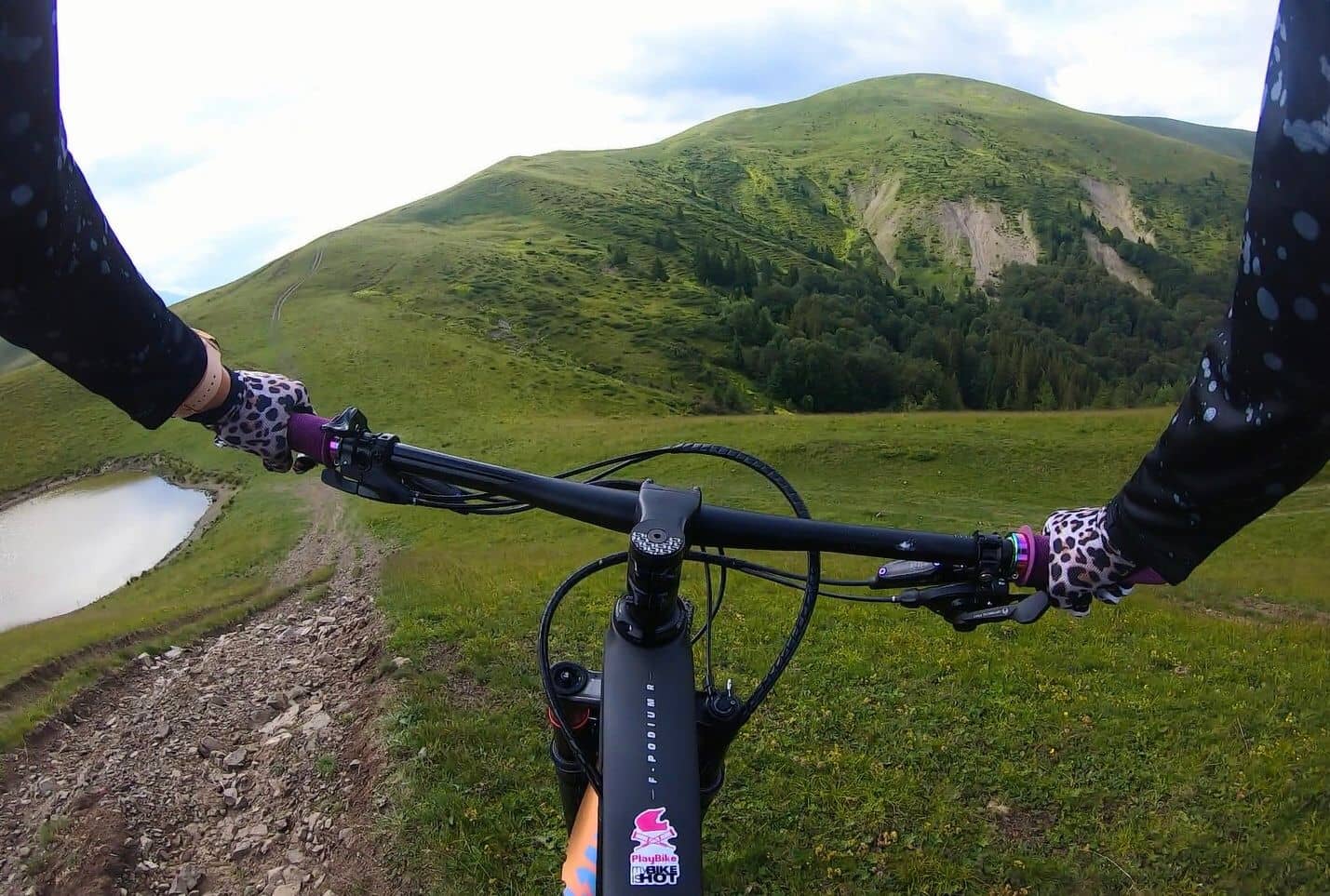
We’ve created a route that climbs up and visits the mountain lake of Lacul Orjogoaia, enjoying epic views here and at Culmea Petru-Orjogoaia before dropping back down the mountain meadows to return to the start at Valea Doftanei by a second mountain river path.
Brasov is close by, and my own home city, historic Sibiu is nearby too, meaning that you can fly here from all over Europe and explore more trails on your visit. For now though, let’s go exploring together, along the TransBai 😉
Route Information
Stats 38 km 1,112 metres total ascent
Refreshments & Where to Stay
Brasov is nearby and is a superb base to explore the area and the mountain trails. Click the link on this page to Booking.com and you’ll see lots of different accommodation options to choose from. In terms of eating and refreshments on route, take plenty with you, as this is a mountain trip. Valea Doftanei where it starts and finishes does have options before and after the ride 🙂
Character
This is a climbing route, with steep and long ascents in the mountains. be prepared and make sure that you are fit enough and that you have the ability to cope with the mountain terrain. It also has some super long descents, so you’ll end up smiling.

Route
The great thing about the mountains of Romania is that there are signs everywhere, helping you to stay on track. However, don’t take things for granted, and know how to navigate. Take a map and compass and know how to use them.
1. Leave Valae Doftanei and climb through the trees to the higher mountain meadows. Follow the signs towards Lake Orjogoaia (at 12 km), the mountain lake, and climb to the high meadows for epic views.
2. Continue to Culmea Petru-Orjogoaia, across the mountain meadows. Continue climbing steadily to the 21.4 km point, where a track to the left is taken, which begins a descent, with forests initially to your left, until you enter the trees at 24 km.
3. Continue descending, and the track soon joins the Prislop River, where a better trail continues to descent, following the line of the river, all the way back to Valae Doftanei.
Click below for GPX file
Download GPX