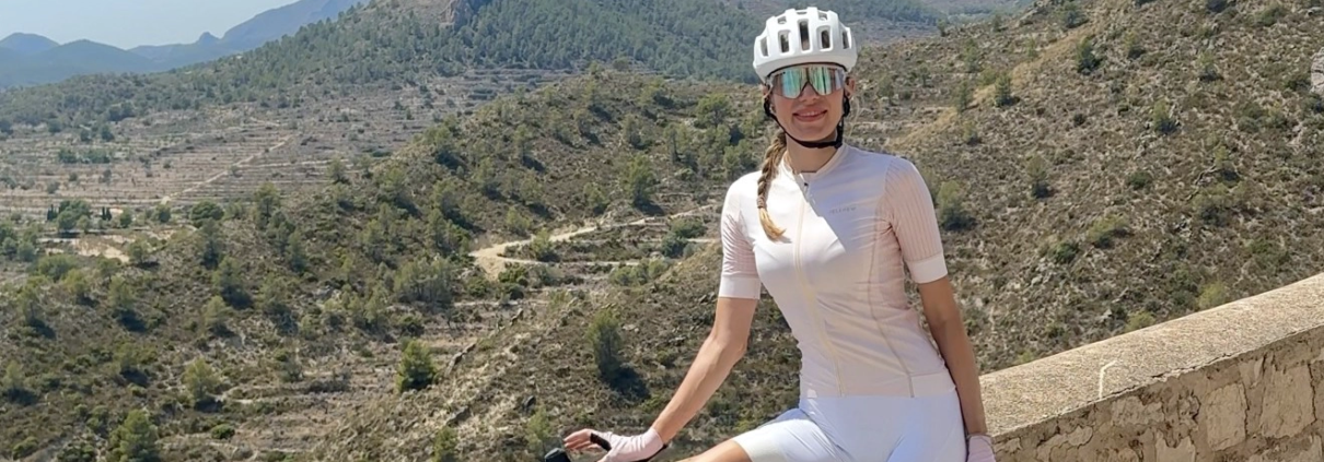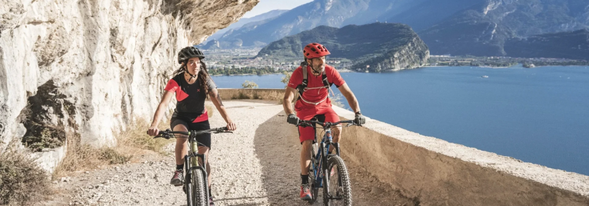
Lake Garda Gran Fondo 2026: Climbs Corners and Italian Cycling Magic
Cycling in the Italian lakes and mountains region is always going to be special. So, when Nadezhda was invited as a guest of the 2026 Lake Garda Gran Fondo, the stage was set for an epic weekend on the magical roads of Italy. Read about her weekend cycling adventures here, and then plan your own trip, exploring the Italian Lakes
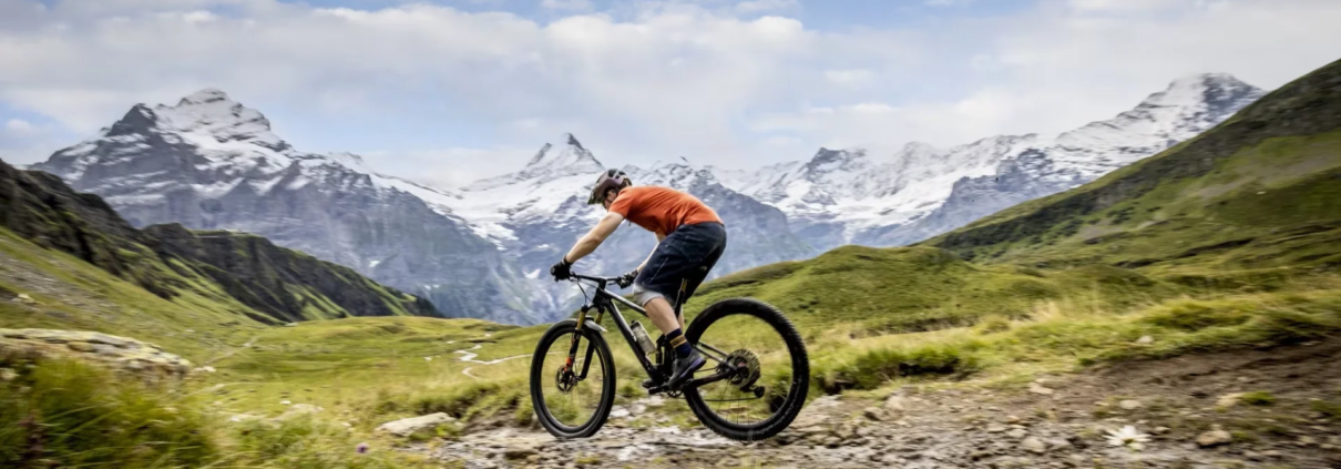
 Tobias Arweiler
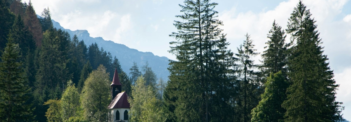