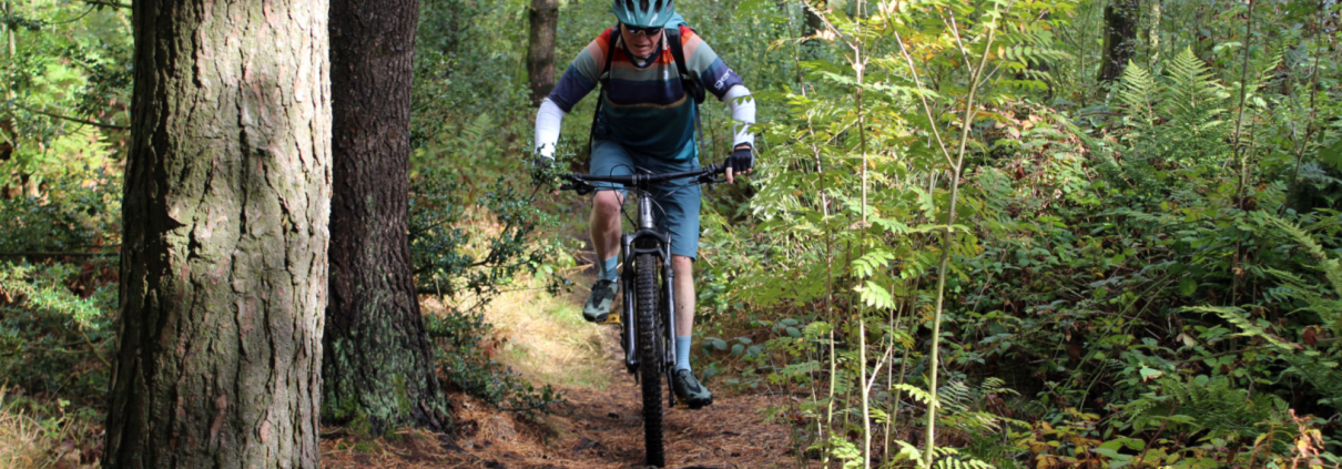
Sutton Bank and Boltby Scar
A super stunning all year round mountain bike route or gravel route, with some of the best views in Yorkshire. Natural trails are mixed with man made tracks, to bring you a fantastic ride.
A super stunning all year round mountain bike route or gravel route, with some of the best views in Yorkshire. Natural trails are mixed with man made tracks, to bring you a fantastic ride.
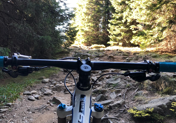
Deep in the Transylvania mountains, Paltinis is an area that every mountain biker would want to explore. Take a trip and stay at nearby historic Sibiu as you ride the wilderness forests of Romania
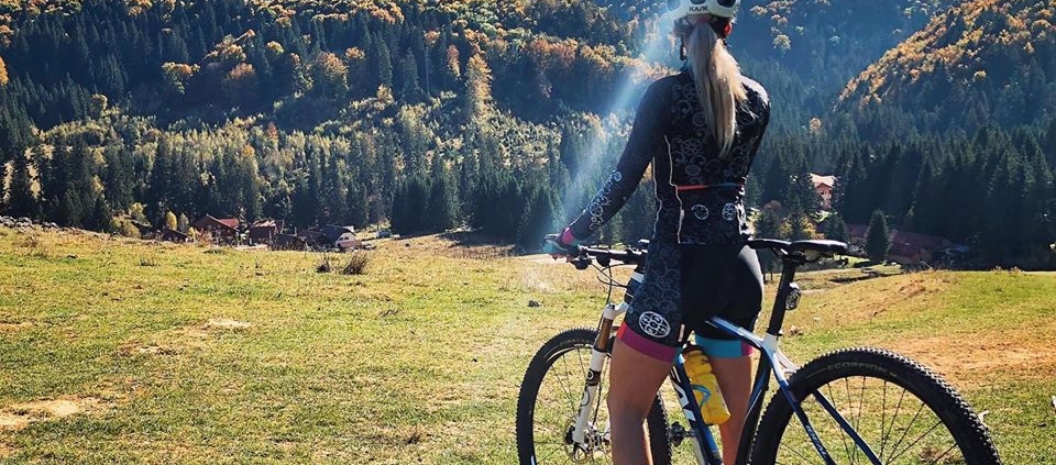
Larisa lives riding the forested hills around Brasov in Transylvania, and this route takes you along some awesome local trails, with epic views and technical riding
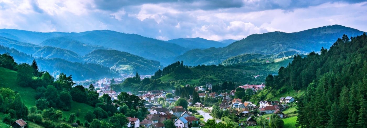
A short but testing ride into the forests around historic Brasov in Transylvania. This is a superb short mountain ride to get you familiar with the local trails
